Our >3000 basemaps for administrative regions
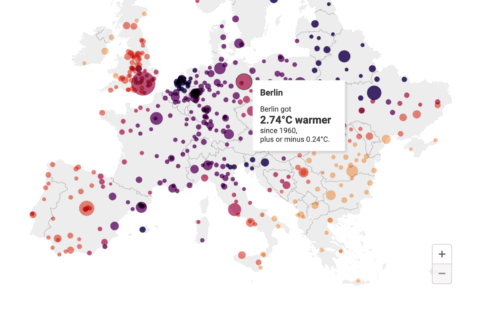
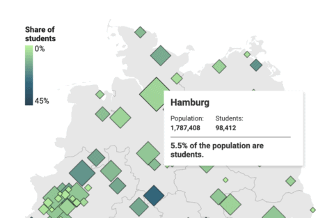
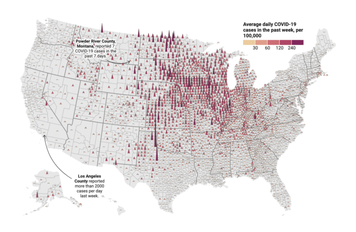
Fill them with your data in our choropleth and symbol maps.
Browse through a selection of Datawrapper's >3000 basemaps:
World & world regions
Countries
Regions within countries
Cities
Cartograms & Tilegrams
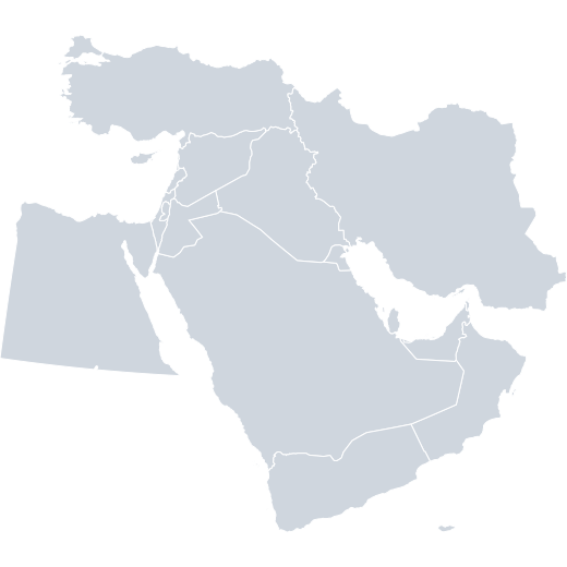 Middle East
 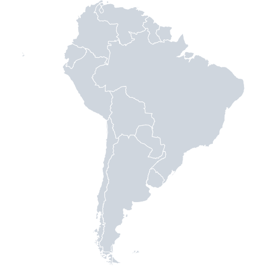 South America
 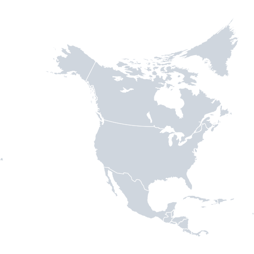 North America
 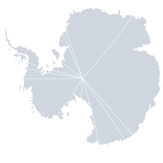 Antarctica › Territorial Claims
 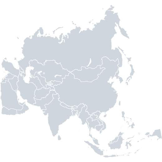 Asia
Asia 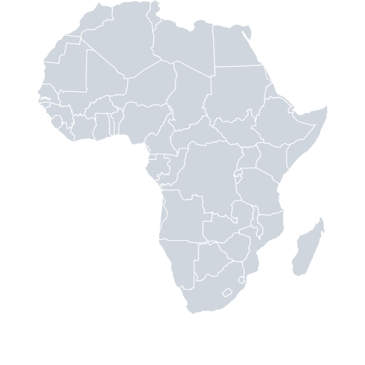 Africa
 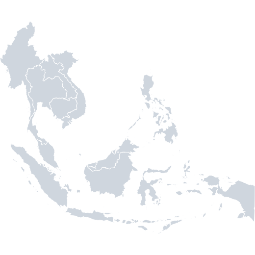 South-East Asia
 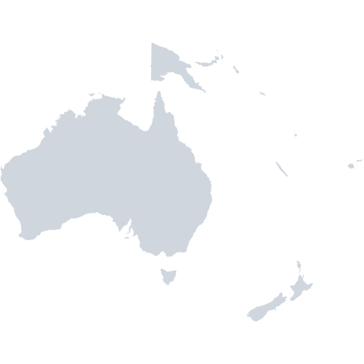 Oceania
 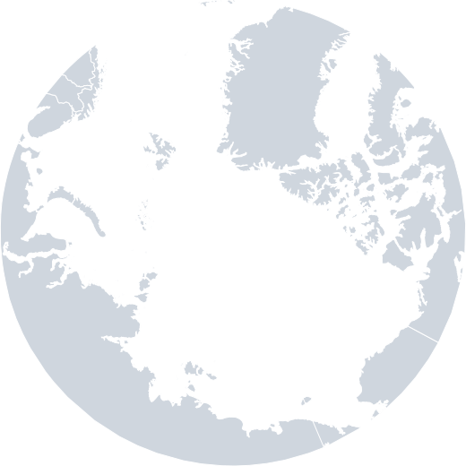 Arctic Regions
 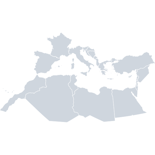 Mediterranean Sea
 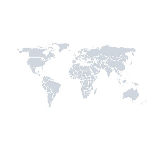 World
World 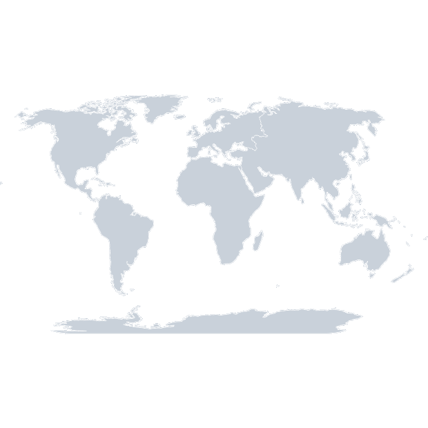 World › Continents
 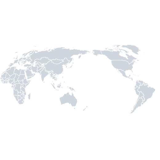 World (Pacific)
 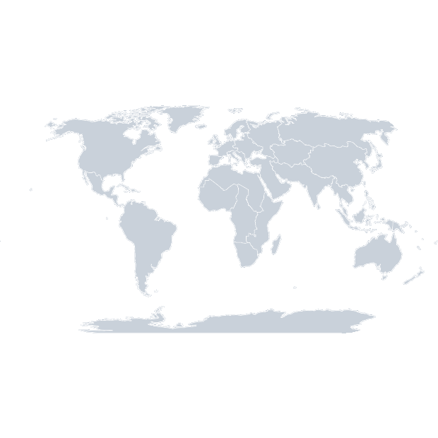 World › Sub-Regions
 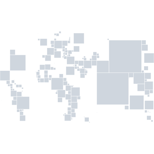 World: population squares
 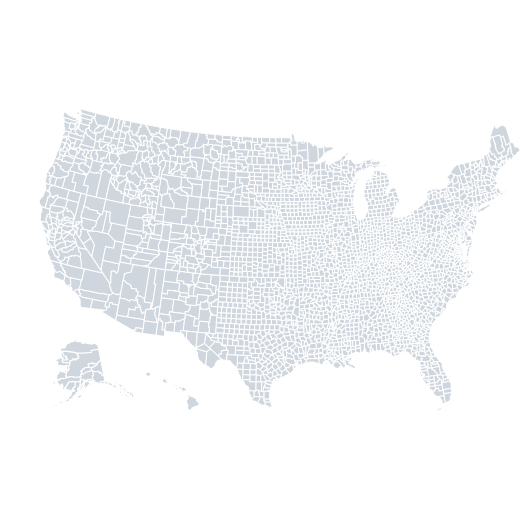 USA › Counties (2018)
 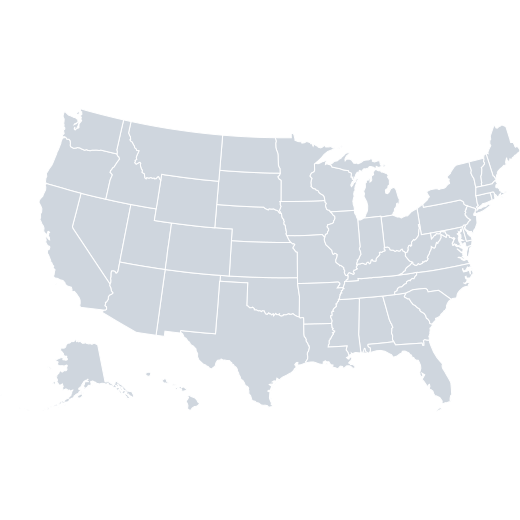 USA › States
 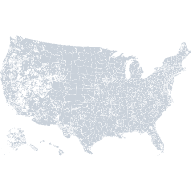 USA › 3-Digit ZIP Codes
 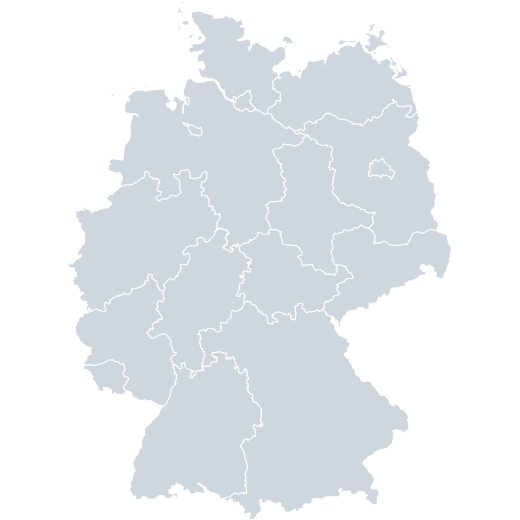 Germany › States
 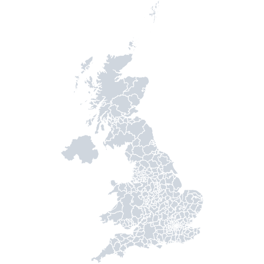 United Kingdom › Districts
 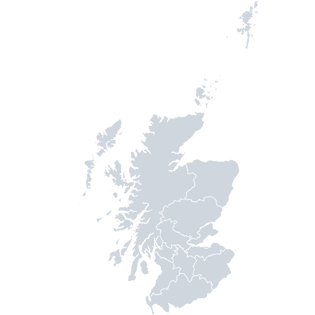 United Kingdom › Scotland › NHS Regions
 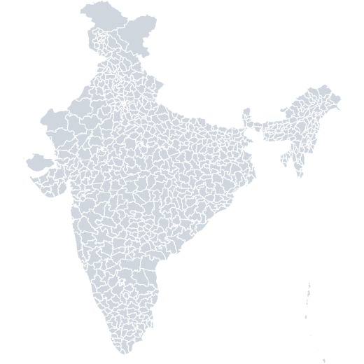 India › Districts (2019)
 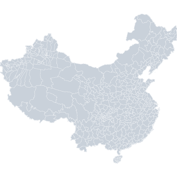 China › Counties
 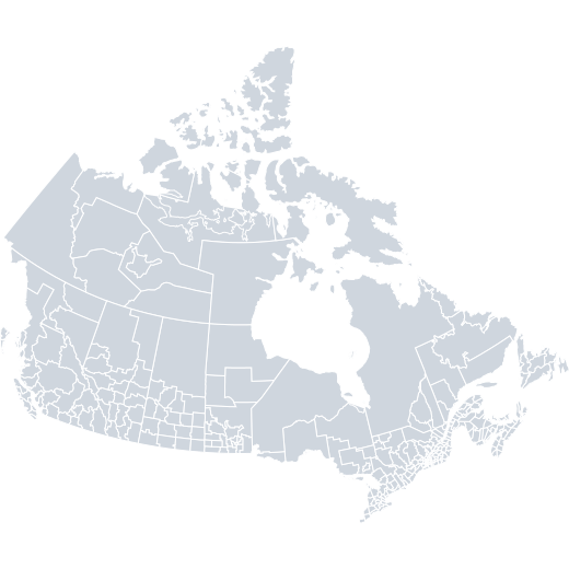 Canada › Census Divisions
 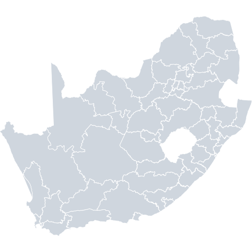 South Africa › Districts
 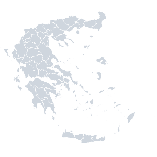 Greece › Prefectures
 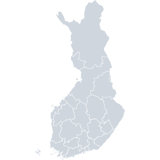 Finland › Hospital Districts
 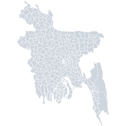 Bangladesh › Constituencies (2018)
 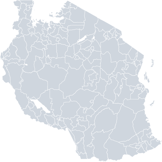 United Republic of Tanzania › Districts (2020)
 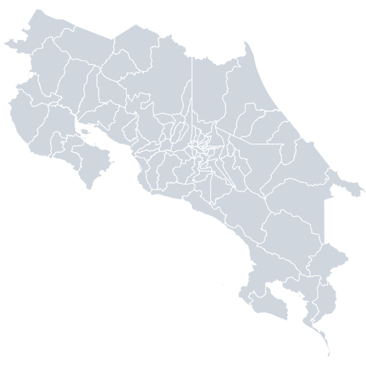 Costa Rica › Cantons (2020)
 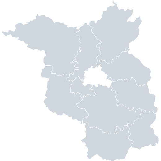 Germany › Berlin & Brandenburg › Electoral Districts (2017)
 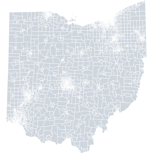 USA › Ohio › Census Tracts
 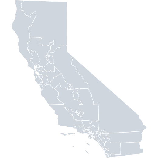 USA › California › Congressional Districts
 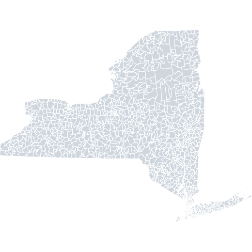 USA › New York › ZIP Codes
 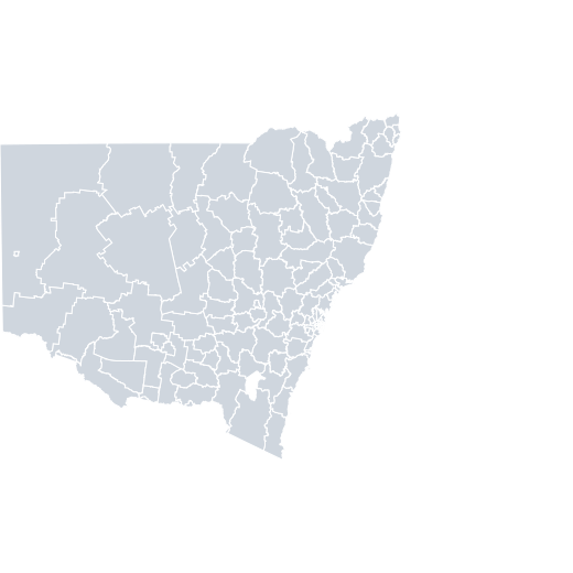 Australia › New South Wales › LGA
 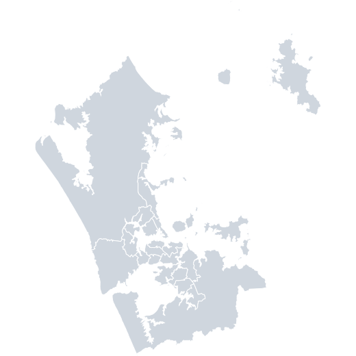 New Zealand › Auckland › Community Boards (2018)
 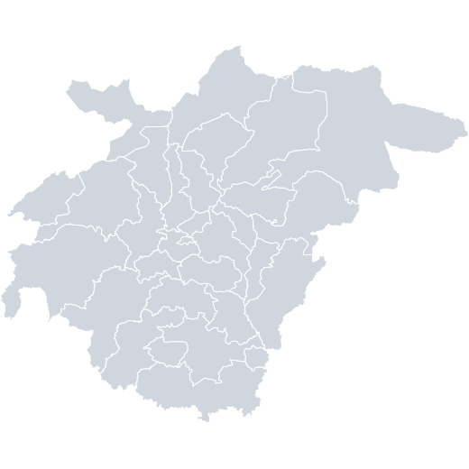 Ghana › Ashanti › Districts
 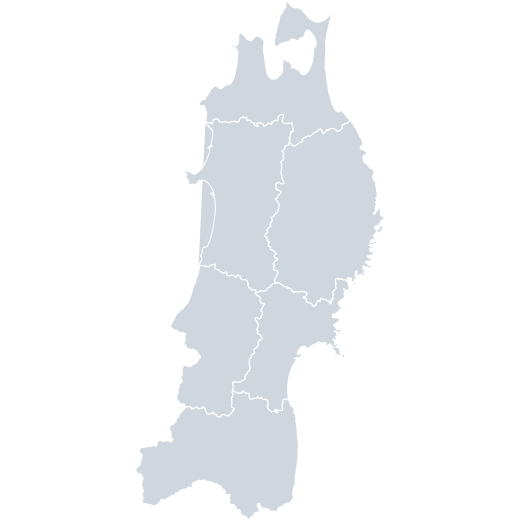 Japan › Tōhoku › Prefectures
 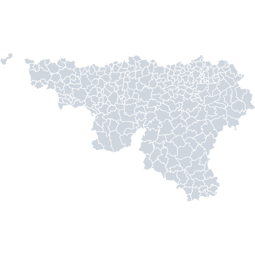 Belgium › Wallonia › Municipalities
 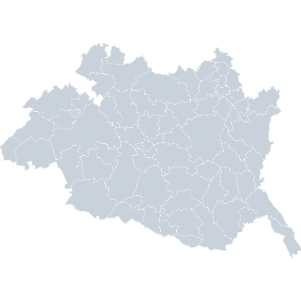 Portugal › Evora › Parishes
 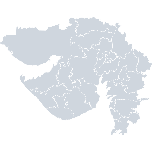 India › Gujarat › Parliamentary Constituencies
 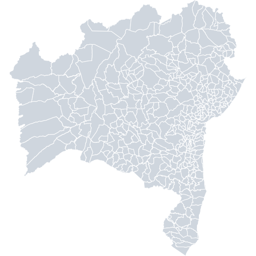 Brazil › Bahia › Municipalities
 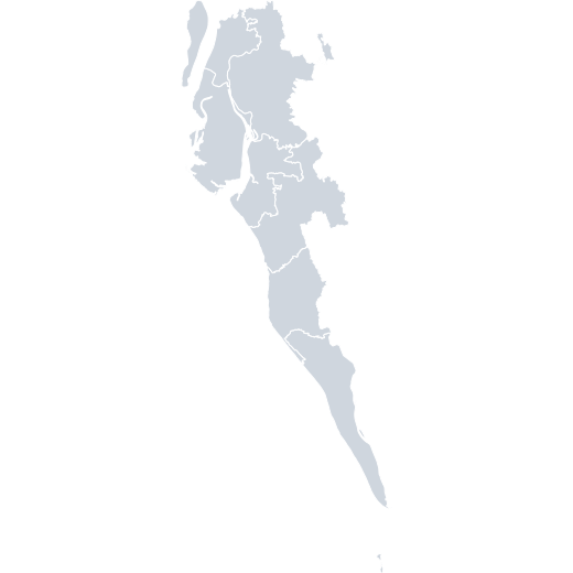 Bangladesh › Cox’s Bazar › Upazila
 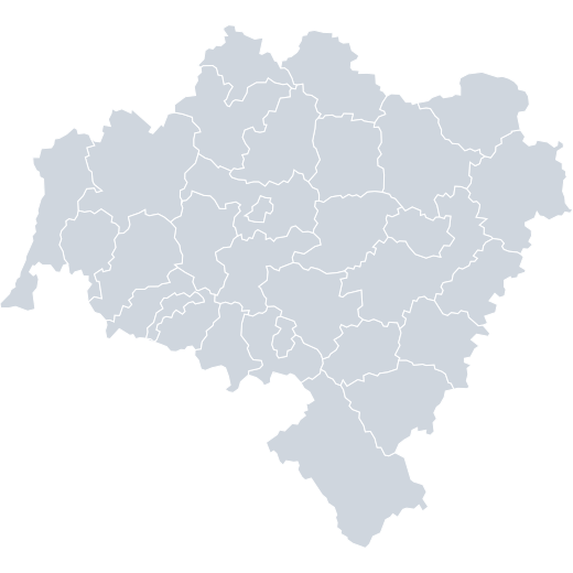 Poland › Dolnośląskie › Powiat
 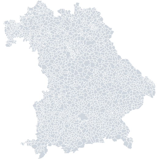 Germany › Bavaria › Municipalities (2018)
 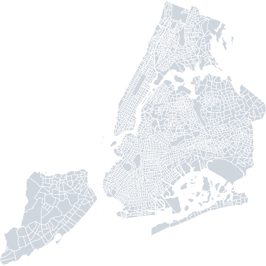 USA › New York City › Census tracts
 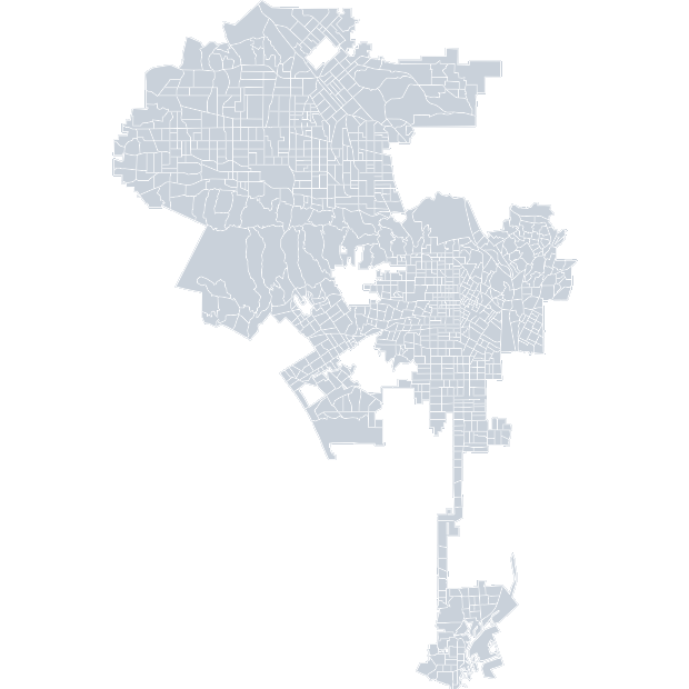 USA › Los Angeles › Census Tracts
 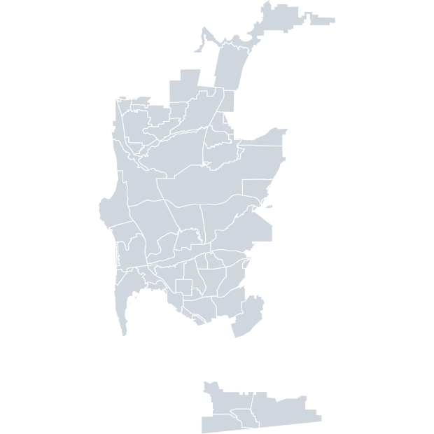 USA › San Diego City › Communities
 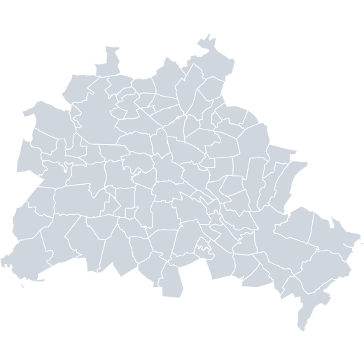 Germany › Berlin › City parts
 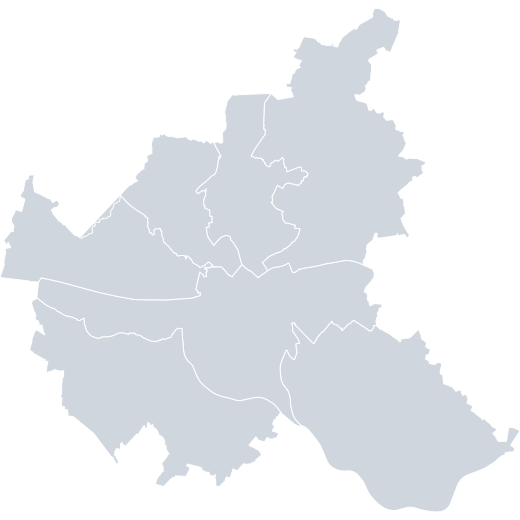 Germany › Hamburg › Boroughs
 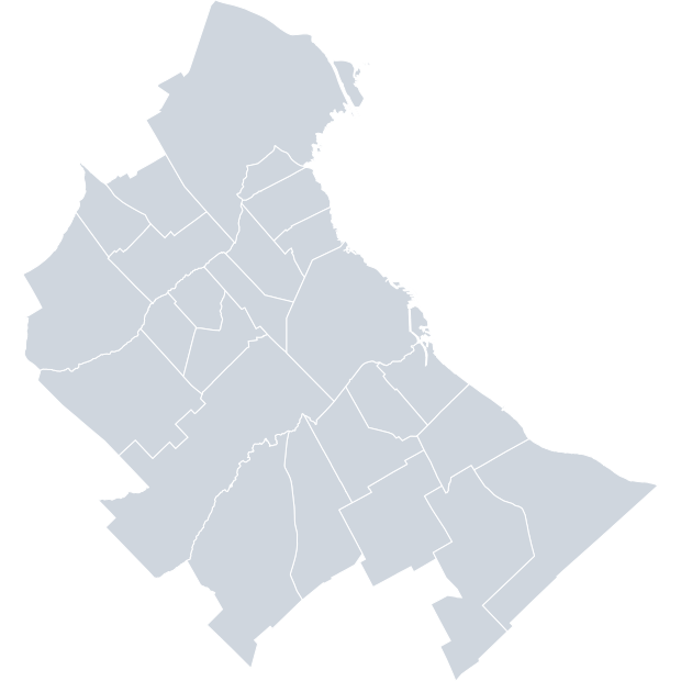 Argentina › Buenos Aires Metropolitan Area › Electoral Districts
 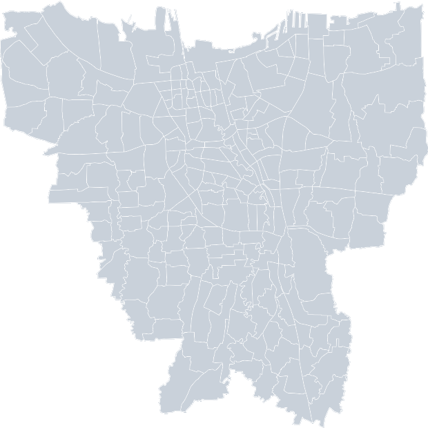 Indonesia › Jakarta › Postal Codes
 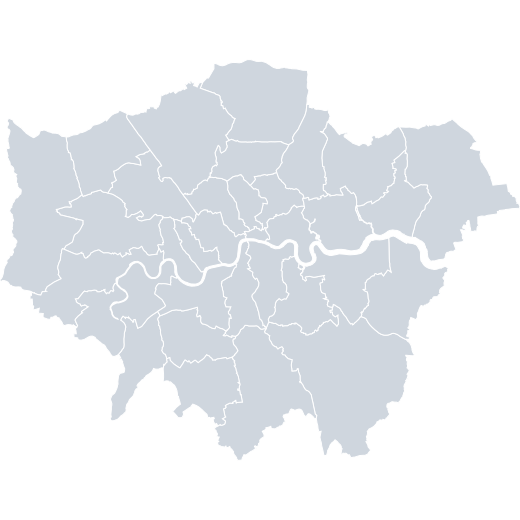 United Kingdom › Greater London
 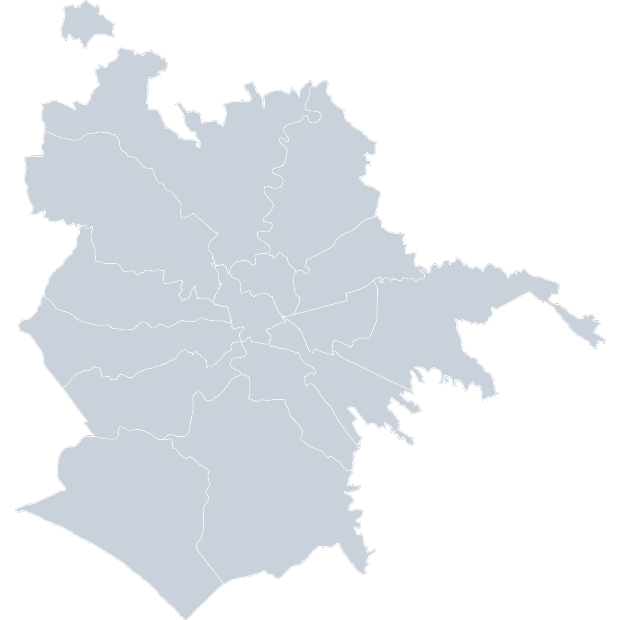 Italy › Rome › Municipalities
 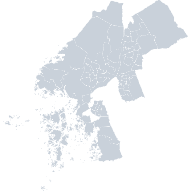 Sweden › Gothenburg › Boroughs
 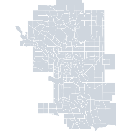 Canada › Calgary › Neighbourhoods
 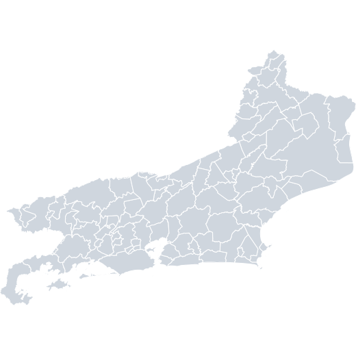 Brazil › Rio de Janeiro › Municipalities
 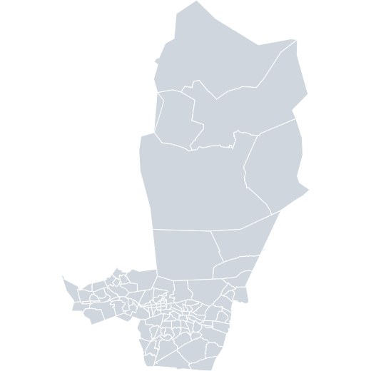 Finland › Tampere › Statistical Areas
 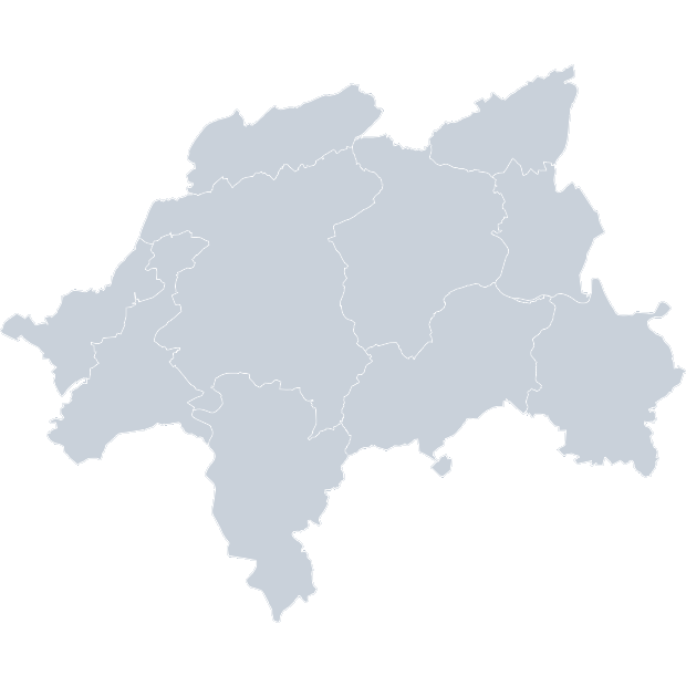 Germany › Wuppertal › City Districts
 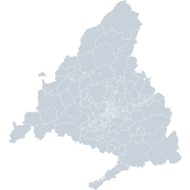 Spain › Madrid › Basic Health Zones
 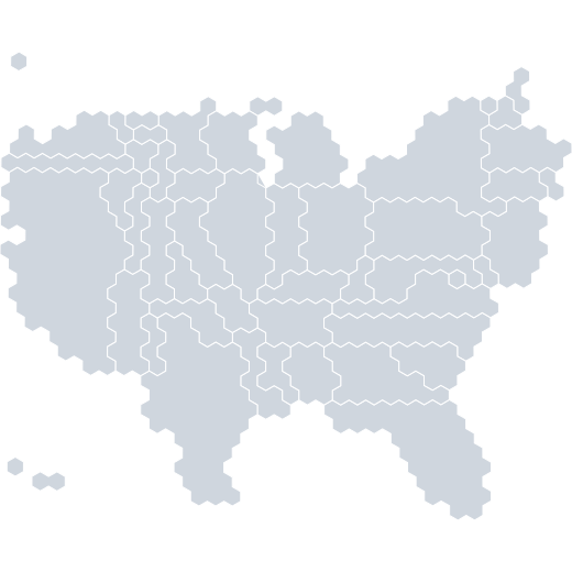 USA › States: population (hexagons)
 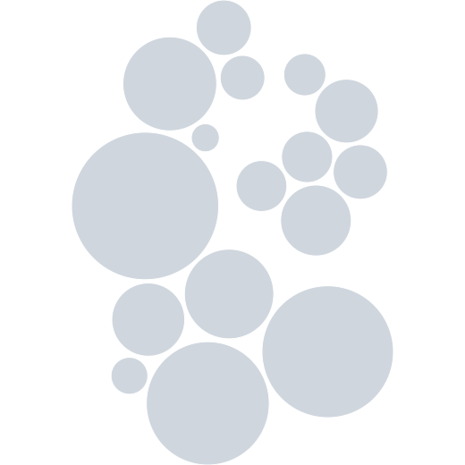 Germany › states: population circles
 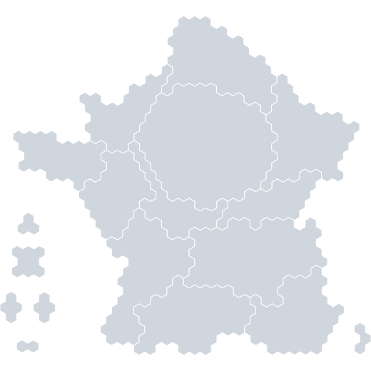 France › Regions: population (hexagons)
 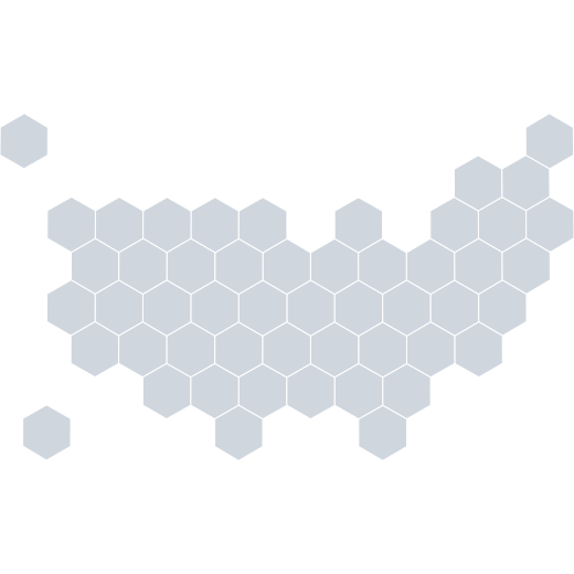 USA › States (hexagons)
 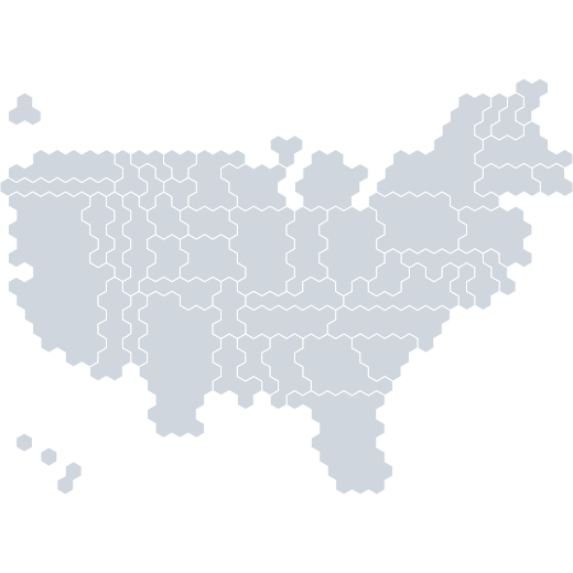 USA › States: electoral college (hexagons)
 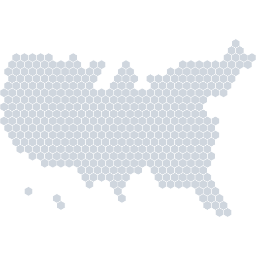 USA › Congressional Districts (hexagons)
 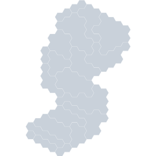 USA › New Jersey › Counties (hexagons)
 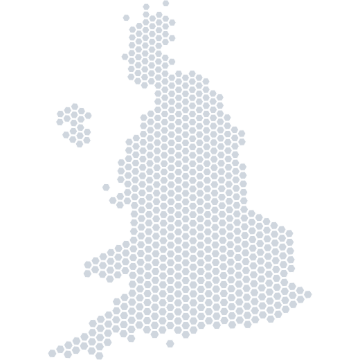 United Kingdom › Constituencies (hexagons)
 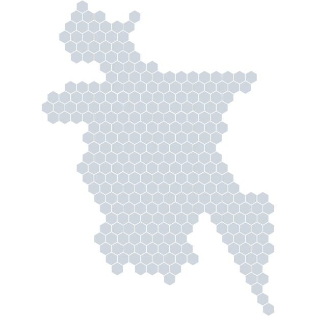 Bangladesh › Constituencies (hexagons)
 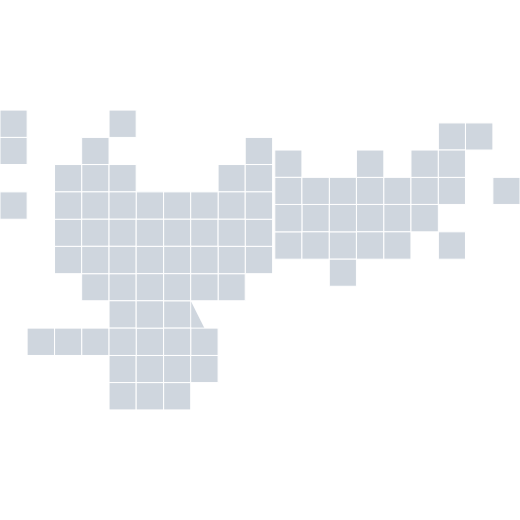 Russia › Regions (squares)
 Can’t find what you’re looking for?
Upload basemaps yourself, or ask us to create official ones
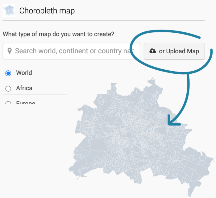
Upload basemaps yourself
You can upload any GeoJSON or TopoJSON smaller than 2MB to our tool and then fill it with data.
Let us know which map you need and we add it for you.
Get in contact with us at support@datawrapper.de and our cartographer Anna will add the map you need as quickly as possible.
To make this process faster, please state a source for the geodata, if you know one, and the geo IDs you need.